
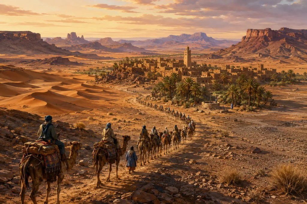
The Sahara is often imagined as an empty ocean of sand dividing the Mediterranean world from sub-Saharan Africa. In reality, the world’s largest hot desert contains mountains, rocky plateaus, gravel plains, salt flats, dry valleys, oases, and vast but discontinuous dune fields. Its extreme distances and scarce water did not prevent civilization. They determined where people could live, how they traveled, what they traded, and which communities gained power by mastering the spaces between reliable sources of water.
A desert larger than borders
The Sahara stretches across most of North Africa, from the Atlantic coast toward the Red Sea. Its scale makes modern national borders appear recent and narrow. For much of history, life was organized instead around mountain ranges, wells, seasonal pastures, caravan routes, and the long ecological transition into the Sahel along the desert’s southern edge.
Rainfall is sparse and irregular, but the desert is not uniform. Uplands such as the Ahaggar, Tibesti, and Aïr ranges interrupt the plains. Some areas are dominated by exposed rock or gravel, while great sand seas occupy others. The familiar dune is only one part of a far more varied landscape.
The green past beneath the desert
The Sahara has not always been as dry as it is today. During the African Humid Period, roughly 11,000 to 5,000 years ago, stronger monsoon rainfall supported grasslands, wetlands, lakes, animals, and human communities across areas that are now extremely arid. Rock art, lake deposits, and archaeological remains preserve evidence of this greener world.
As rainfall patterns shifted, lakes contracted and vegetation retreated. People and animals concentrated around more dependable water or moved toward the Nile Valley, the Mediterranean coast, highlands, and the Sahel. Climate change did not produce one simple migration, but it steadily reorganized the geography of human possibility.
Water organized life
In an arid environment, a spring, well, or oasis could become the foundation of settlement. Date palms offered food, shade, and protection for crops grown beneath them. Water allowed communities to support travelers, maintain gardens, raise animals, and connect routes that otherwise crossed long stretches without dependable supplies.
Knowledge of water was therefore a form of power. Guides needed to know not only where wells were located, but also which were seasonal, saline, buried, or controlled by particular groups. The map of the Sahara was not simply a map of land. It was a network of remembered water points joined by difficult journeys.
Camels turned a barrier into a route
The growing use of camels transformed movement across the desert. Camels could carry heavy loads, travel long distances, and tolerate heat and limited water better than most pack animals. Organized caravans made regular trans-Saharan commerce possible on a scale that reshaped both sides of the desert.
Caravan travel remained dangerous and highly skilled. Routes depended on weather, security, pasture, political agreements, and the condition of wells. Travelers moved in groups because survival required shared knowledge and resources. The desert did not become easy to cross; it became crossable through organization.
Trade built cities and empires
Gold from regions south of the Sahara moved north toward Mediterranean markets, while salt from Saharan deposits traveled south. Textiles, horses, metals, manuscripts, and other goods also circulated, as did enslaved people. Rulers who protected routes, taxed commerce, or controlled access to productive regions could turn geography into political authority.
The wealth of ancient Ghana, Mali, and Songhai was closely connected to trans-Saharan exchange, although these states were never created by trade alone. At the desert’s edges and within its oases, towns such as Sijilmasa, Chinguetti, and Timbuktu became commercial, religious, and intellectual centers. Their locations reveal how a harsh environment could concentrate movement rather than simply stop it.
Culture traveled with the caravans
Trade routes carried beliefs, languages, artistic forms, legal traditions, and scholarship alongside material goods. Islam spread across and around the Sahara through many processes, including commerce, migration, teaching, diplomacy, and political patronage. Desert towns developed mosques, schools, libraries, and manuscript traditions that connected distant communities.
Nomadic and pastoral peoples were not merely guides between settled civilizations. Amazigh, Tuareg, Teda, Arab, and other Saharan communities developed their own political systems, ecological knowledge, crafts, poetry, and identities. They shaped the desert’s history as inhabitants, traders, herders, warriors, and intermediaries.
The modern Sahara remains connected
Modern roads, aircraft, pipelines, mines, and national frontiers have changed movement across the Sahara, but geography still matters. Oil, gas, minerals, solar energy, grazing land, and groundwater have strategic value. Some farming projects draw on ancient underground aquifers filled during wetter climatic periods, raising difficult questions about using water that is replaced only very slowly.
Saharan dust also demonstrates that the desert is part of a planetary system. Winds carry mineral particles across the Atlantic, where they can supply nutrients to distant ecosystems. Meanwhile, rare storms can fill dry lakes and cause destructive floods. The Sahara is arid, but it is neither motionless nor isolated.
The desert shaped the connections
The Sahara separated regions by imposing heat, distance, and thirst. Yet those same constraints concentrated settlement around water, rewarded expert mobility, and gave enormous value to the routes that crossed it. Geography turned wells into lifelines, oases into towns, and caravan knowledge into economic and political power.
The history of the Sahara is therefore not the history of an empty space. It is the history of people adapting to scarcity and building connections across one of Earth’s most demanding environments. The desert did not erase civilization; it shaped its paths.
Further reading: National Geographic Education: Not All Deserts Are Sandy; NASA Earth Observatory: Water for a Desert Lake in Algeria; The Metropolitan Museum of Art: The Trans-Saharan Gold Trade; UNESCO: Ancient Ksour of Mauritania.


Leave a Reply