
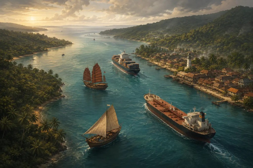
The Strait of Malacca looks narrow on a map, yet it has connected worlds for centuries. Running between the Malay Peninsula and the Indonesian island of Sumatra, it offers the shortest major sea passage between the Indian Ocean and the South China Sea. Geography turned this tropical channel into a meeting place for sailors, merchants, religions, empires, and—today—global supply chains.
1. A Passage Between Two Oceans
The strait extends for roughly 930 kilometers. It is broad toward the northwest but tightens near the Singapore Strait, where the navigable corridor becomes a natural bottleneck. Shallow water, shifting seabed conditions, irregular tides, and dense island geography make the route valuable but demanding.
Its importance begins with distance. Ships moving between the Indian and Pacific ocean systems can pass through Malacca instead of making a much longer voyage around the Indonesian archipelago. A narrow opening in the land therefore reorganized movement across a vast maritime region.
2. The Monsoon Made a Maritime Rhythm
Long before steam engines, sailing across the Indian Ocean depended on seasonal monsoon winds. Winds that reversed direction during the year encouraged merchants to travel in one season, wait in a sheltered port, and depart when the winds changed.
The Strait of Malacca stood near the hinge of this system. Ships arriving from India, Arabia, or farther west could exchange cargo with vessels connected to the South China Sea and the Indonesian archipelago. Geography and climate did not merely permit trade; together they created its calendar.
3. Melaka: A Port Built by Position
In the fifteenth century, the Melaka Sultanate rose beside the strait and became one of Southeast Asia’s great entrepôts. Its rulers benefited from a harbor positioned along the main route, while political protection and commercial rules helped merchants meet and exchange goods.
Spices from the archipelago, textiles from India, ceramics and silk from China, and many other products passed through this maritime marketplace. Control of productive land was not the city’s greatest advantage. Its power came from controlling a place where routes converged.
4. A Chokepoint Attracted Empires
Strategic geography made Melaka wealthy, but it also made the strait a target. The Portuguese captured Melaka in 1511, the Dutch displaced them in 1641, and British power later centered on ports including Penang and Singapore. Each sought influence over the passage and the commerce flowing through it.
Yet no empire could turn the entire strait into a simple gate. Local rulers, mobile communities, competing ports, smugglers, and merchants continued to shape the region. The waterway concentrated power while also dispersing it along hundreds of kilometers of coast.
5. Trade Created Multicultural Shores
Centuries of exchange brought Malay, Chinese, Indian, Arab, and European communities into sustained contact. Languages, foods, religious traditions, architecture, and family networks crossed the water with cargo. Coastal cities became places where foreign influences were not merely imported but remade locally.
UNESCO describes Melaka and George Town as historic trading cities shaped by more than five centuries of exchanges between East and West. Their mosques, temples, churches, shophouses, civic buildings, and everyday cultures preserve the human imprint of the strait.
6. The Modern Artery of Asian Trade
Container ships, tankers, bulk carriers, and passenger vessels now follow the same geographic logic that guided earlier traders. Malacca remains the principal shipping channel between the Indian and Pacific oceans and one of the world’s most consequential maritime chokepoints.
Its role is especially visible in energy trade. Oil and liquefied natural gas moving from the Middle East and Africa toward East Asian markets often use this shortest practical route. A delay or closure would force many ships onto longer alternatives, increasing time, fuel use, freight costs, and pressure on supply chains.
7. Narrow Water, Shared Risk
The same narrowness that creates economic value also produces risk. Heavy traffic, shallow stretches, tight approaches, collisions, groundings, piracy, haze, and oil spills can threaten crews and coastal ecosystems. Safe passage depends on charts, traffic-separation schemes, reporting systems, navigational aids, and constant communication.
Indonesia, Malaysia, and Singapore cooperate with user states, international organizations, and the shipping industry through a mechanism established in 2007. In August 2026, the three coastal states again affirmed that the Straits of Malacca and Singapore should remain free, open, and safe for international shipping, while emphasizing navigation safety and environmental protection.
Conclusion
The Strait of Malacca shows how a small space can shape a large world. Its position synchronized monsoon trade, raised port cities, attracted empires, mixed cultures, and now binds global energy and manufacturing networks together. Civilization did not simply grow beside this waterway; it repeatedly reorganized itself around the passage the Earth provided.
Further reading
- International Maritime Organization: Safety of straits used for international navigation
- UNESCO: Melaka and George Town, Historic Cities of the Straits of Malacca
- U.S. Energy Information Administration: World Oil Transit Chokepoints
- Maritime and Port Authority of Singapore: 2026 Co-operation Forum statement


Leave a Reply