
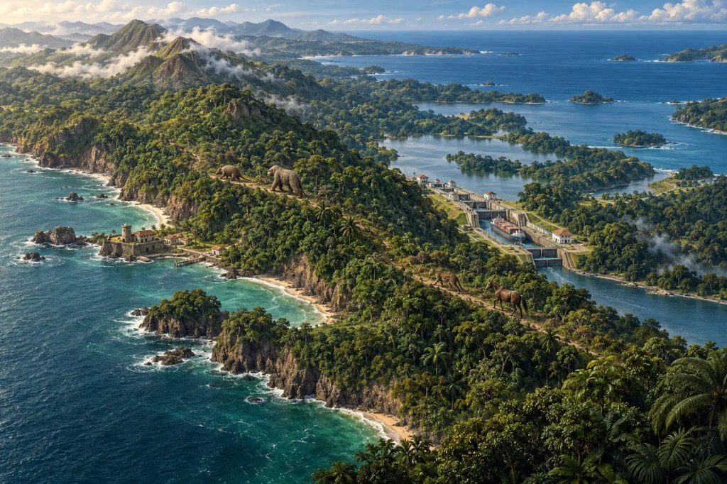
At its narrowest, Panama is a slender hinge of land between the Caribbean Sea and the Pacific Ocean. Yet this small connection rearranged life across two continents, altered the relationship between two oceans, and invited generations of people to turn a difficult tropical crossing into one of the world’s most consequential corridors.
1. A Bridge Raised from the Sea
The Isthmus of Panama grew from a long tectonic story. Subduction built a volcanic arc between the Americas, while the movement and collision of crustal blocks raised islands, narrowed marine passages, and gradually assembled continuous land. It was a process of emergence rather than the sudden appearance of a finished bridge.
The precise chronology has been debated, but a major review of geological, fossil, and molecular evidence placed the isthmus in the strict sense at about 2.8 million years ago. Earlier islands and shallower passages had already affected movement and water exchange; the final closure made the barrier between the Caribbean and eastern Pacific complete.
2. The Great American Biotic Interchange
Once a dependable land connection existed, animals and plants could move between continents that had developed largely apart. North American cats, canids, horses, and proboscideans expanded southward, while South American lineages—including armadillos, opossums, and ground sloths—moved north.
This Great American Biotic Interchange was uneven: migration had begun in limited forms before final closure, and different groups prospered or vanished at different rates. Even so, the isthmus transformed the ecological map of the Americas. At sea, populations separated on opposite coasts followed distinct evolutionary paths in sharply different environments.
3. Two Oceans, New Circulations
Closing the Central American Seaway restricted the direct exchange of tropical water between the Pacific and Atlantic basins. Caribbean waters became warmer and saltier relative to the eastern Pacific, while nutrient conditions and coastal ecosystems diverged.
The closure also contributed to a wider reorganization of ocean circulation. Its exact role in global climate changes remains a subject of research, but the central fact is clear: a narrow strip of land became a wall in the planetary ocean, with consequences far beyond its shoreline.
4. A Human Crossroads before Empire
Long before European conquest, Indigenous communities lived within and crossed the isthmus, adapting to tropical forests, rivers, coasts, and seasonal rainfall. The land bridge was not an empty shortcut awaiting outsiders; it was a peopled landscape with its own networks of subsistence, exchange, knowledge, and authority.
Its geography encouraged movement along coasts and waterways while dense forests, steep terrain, disease, and heavy rain made overland travel demanding. Human routes therefore followed the logic of the terrain, joining navigable water with carefully chosen passages across the continental divide.
5. The Colonial Transisthmian Route
From the sixteenth century, the Spanish Empire organized roads, river passages, ports, and fortified settlements across Panama. Routes such as the Camino Real and Camino de Cruces carried people and goods between the Pacific and Caribbean, linking American silver and other commodities to an expanding global system.
That system depended on Indigenous and local knowledge and on the coerced labor of enslaved Africans, while exposing the corridor to imperial conflict, piracy, and violence. The surviving route records not only commerce but also the unequal human costs of converting geography into infrastructure.
6. The Canal and the Compression of Distance
The nineteenth-century railroad intensified the old logic of transisthmian passage. The Panama Canal, opened in 1914, transformed it on a global scale by allowing ships to cross between the Atlantic and Pacific without rounding South America.
The canal is not a sea-level trench. Its locks raise vessels to Gatun Lake, about 26 meters above sea level, carry them across the interior, and lower them again. Mountains were cut, rivers dammed, settlements displaced, and a freshwater landscape engineered into a maritime passage. The isthmus remained a barrier, but human construction made the barrier selectively permeable.
7. Water, Forests, and a Vulnerable Passage
The canal’s operation depends on rainfall and stored freshwater. Water from Gatun Lake moves by gravity through the lock system, while the watershed also supplies communities and more than half of Panama’s population. Navigation, drinking water, hydropower, agriculture, and ecosystems therefore draw upon a connected resource.
Forest cover helps regulate runoff, erosion, water quality, and biodiversity across the basin. Periods of low rainfall have revealed that a global shipping route can be constrained by local hydrology. Modern planning must balance vessel traffic with human consumption, watershed communities, habitat, and an increasingly variable climate.
8. Conclusion: A Narrow Land with Planetary Reach
The Isthmus of Panama demonstrates that geographic power is not measured by size alone. By joining continents, separating oceans, concentrating human movement, and placing global trade in the hands of rain-fed lakes, this narrow land has repeatedly changed the scale at which nature and civilization meet.
 Intellesia
Leave a comment