
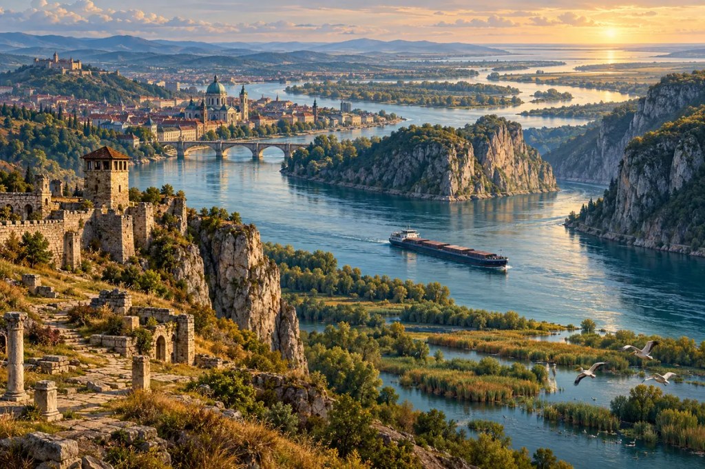
The Danube is not simply a river that crosses Europe. It is a moving corridor between landscapes, languages, and political worlds. From the Black Forest to the Black Sea, its water has carried grain, soldiers, merchants, ideas, and pollutants through a basin shared by more countries than any other river system on Earth. The same geography that made the Danube a route of connection also made it a frontier—and today makes cooperation unavoidable.
1. A River Across a Continent
The Danube begins in southwestern Germany, where the Brigach and Breg meet at Donaueschingen, and travels 2,857 kilometres before dividing into distributaries and reaching the Black Sea. Along the way it passes through or forms borders between ten countries. Its drainage basin reaches much farther, across nineteen countries and a great arc of Central and southeastern Europe.
This long course links several physical regions. The upper river crosses uplands and narrow valleys; the middle Danube opens into broad plains around Vienna and the Pannonian Basin; the lower river bends through the Iron Gates gorge and then spreads across the lowlands toward its delta. Tributaries such as the Inn, Drava, Tisza, and Sava gather water from the Alps, Carpathians, Dinaric Alps, and Balkan Mountains, turning the Danube into a continental system rather than a single channel.
2. Floodplains, Wetlands, and Seasonal Water
Before embankments and dams confined much of it, the Danube shifted across floodplains, abandoned old channels, and renewed wetlands with sediment and seasonal floods. These landscapes stored water, supported fisheries, replenished soils, and created habitats for migratory birds. They also made settlement risky: fertile ground and accessible water came with floods, marshes, and changing channels.
At the river’s eastern end, water slows and deposits its load in the Danube Delta. UNESCO describes it as the largest and best-preserved of Europe’s deltas, with a mosaic of reed beds, lakes, marshes, and channels supporting hundreds of bird species. The delta reveals the river’s double role especially clearly. It is both transport route and living wetland, and engineering for one function can weaken the other.
3. A Corridor Before States
Long before modern borders, the Danube valley offered a sequence of waterways, terraces, and passes across a continent otherwise broken by mountains and forests. Farming communities expanded through parts of this corridor in the Neolithic era, while later Celtic and other societies used river routes to move metal, salt, pottery, and people. Navigation was never effortless, but the valley reduced the cost of movement and concentrated exchange.
Settlements grew where geography created leverage: at tributary mouths, islands, crossings, and gaps between high ground. Vienna, Bratislava, Budapest, and Belgrade each occupy different strategic situations, yet all became major cities partly because the river gathered movement around them. The Danube did not dictate a single civilization. It repeatedly created meeting places where local cultures encountered wider networks.
4. The Roman Frontier
For centuries, long stretches of the Danube formed the northern edge of the Roman provinces of Raetia, Noricum, and Pannonia. The river was a defensive line, but not an impermeable wall. Fortresses, smaller forts, roads, ports, civilian settlements, and a river fleet used the channel as infrastructure. Soldiers and administrators watched crossings while merchants and communities continued to move goods and knowledge across the frontier.
The western Danube Limes demonstrates how closely Roman strategy followed the terrain. Larger bases guarded open plains and important crossings; smaller posts watched narrow gorges. Towns that developed beside military sites often outlived the frontier itself. In this way, a military boundary also became an urban skeleton, leaving routes and settlement patterns that remained visible through the medieval period and into the present.
5. Empires, Towns, and Borderlands
After Rome, the river remained a zone where powers met rather than a line permanently owned by one of them. Medieval kingdoms, trading towns, monasteries, and river ports occupied its banks. Later, the middle and lower Danube became a shifting borderland between Habsburg and Ottoman power. Fortified cities and customs points translated geography into taxation, defence, and political control.
Yet rivalry did not stop cultural circulation. German-speaking settlers, South Slavic communities, Hungarians, Romanians, Roma, Jews, Greeks, Turks, and others participated in the river’s commercial and urban worlds. Music, food, architecture, and religious traditions moved alongside timber, livestock, wine, and grain. The Danube’s civilization was therefore not uniform; it was produced by proximity among communities whose relations ranged from cooperation to conflict.
6. Navigation and the Iron Gates
The Iron Gates, where the Danube cuts between the Carpathian and Balkan mountain systems, long formed one of the river’s most difficult passages. Rapids, reefs, and a confined channel obstructed navigation. Nineteenth- and twentieth-century engineering improved the route, and the Iron Gate dams and locks later generated electricity and enabled larger vessels to pass more reliably.
Those gains also transformed the river. Reservoirs raised water levels, altered sediment movement, submerged settlements and archaeological sites, and changed aquatic habitats. Similar trade-offs appear along the basin wherever levees, hydropower, dredging, and channel regulation make water more predictable for cities and commerce. The engineered Danube is economically powerful, but it no longer behaves like the free-moving river that created its floodplains.
7. An International Economic Artery
Modern barges carry bulk goods between industrial centres, agricultural regions, and Black Sea ports. The Main–Danube Canal completed a navigable connection between the Danube and the Rhine system, while the European Union’s Rhine–Danube transport corridor treats the waterway as the backbone of a broader network of railways, roads, and ports. River cities remain logistics nodes because geography continues to reward access to the channel.
But navigation depends on water depth, functioning locks, maintained channels, and predictable seasons. Drought can restrict vessel loads; floods can halt traffic and threaten settlements. Infrastructure bottlenecks and national regulations can interrupt a route that appears continuous on a map. The Danube’s economic value therefore depends not only on engineering but also on coordination among states that share the same moving water.
8. A Shared River Under Pressure
Pollution, habitat loss, invasive species, altered sediment, flood risk, and climate-driven extremes do not respect borders. The Danube River Protection Convention and the International Commission for the Protection of the Danube River provide a basin-wide framework for water quality, flood management, and ecosystem protection. Restoration projects reconnect side channels and floodplains, while international monitoring turns the river into a shared field of science as well as policy.
Cooperation remains difficult because upstream and downstream interests are not identical. A dam, dike, port, or discharge in one place can change conditions elsewhere. Yet this is precisely the lesson of the river: sovereignty may divide the map, but a watershed joins consequences. The Danube makes interdependence visible in the daily movement of water.
The Danube shaped Europe by serving at once as road, frontier, habitat, and political test. Its history shows that geography does not merely connect societies; it forces them to negotiate what they share.


Leave a comment